Environment Canada has issued flash freeze warnings for several regions in northern Ontario, including Greater Sudbury and Timmins, as temperatures are forecast to plummet rapidly late Sunday afternoon or evening.
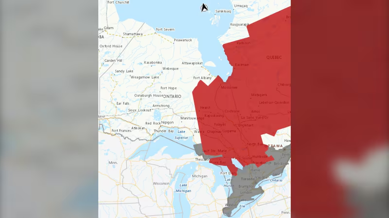
Affected areas include Elliot Lake, Ranger Lake, Gogama, Foleyet, Greater Sudbury and vicinity, Kirkland Lake, Englehart, Temiskaming Shores, Temagami, Timmins, Cochrane and Iroquois Falls.
The weather authority warns that a combination of rain and snowmelt is expected to freeze suddenly as a cold front moves through the region. Ponding water, slush, and any falling precipitation will quickly turn to ice, creating hazardous conditions on highways, roads, walkways and parking lots.
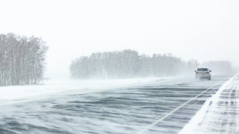
Snow cover may make icy surfaces difficult to detect, increasing the risk of slips and falls for pedestrians and dangerous driving conditions for motorists.
“Take extra care when walking or driving in affected areas,” said Environment Canada.
Environment Canada is urging residents to exercise caution, adjust their driving to changing road conditions, and be prepared for sudden weather changes.
“Please continue to monitor alerts and forecasts issued by Environment Canada,” reads the weather alerts.
To report severe weather, send an email to ONstorm@ec.gc.ca or tweet reports using #ONStorm.


